![]()
![]()
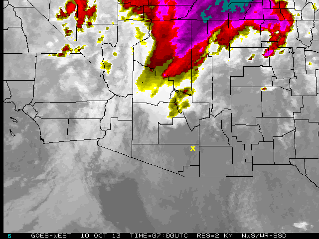
The weather was complicated tonight. As a major cold front slowly made its way out of California, orographic clouds formed over Mt. Bigelow for most of the first half of the night and lightning storms formed about 50 miles to the north in early evening. Only a marginal polarization measurement of one blazar was acquired. This was frustrating since only 5 miles to the west, the summit of Mt. Lemmon had clear skies. Then, at around 0100 local time, this section of the Santa Catalina range decided to stop producing clouds for about an hour and a half and four more blazars were observed in frightful seeing (2.5-3.5 arcsec) and strong winds. At 0245, the mountains began producing low clouds again as the weather front approached and this ended observations for the night.
Fortunately, the heaviest weather was to the north, with sporadic lightning
during the entire night. This cold front should pass through within the
next 2-6 hours and the system should rapidly move northeast out of Arizona.
There is actually a chance of getting back on the sky tomorrow night.
![]()